Chief Electoral Officer
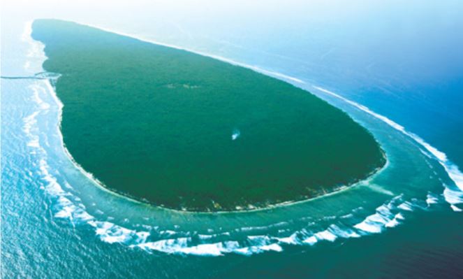
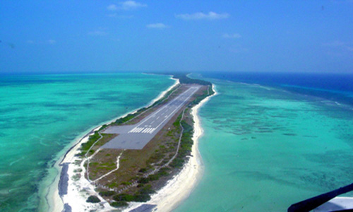
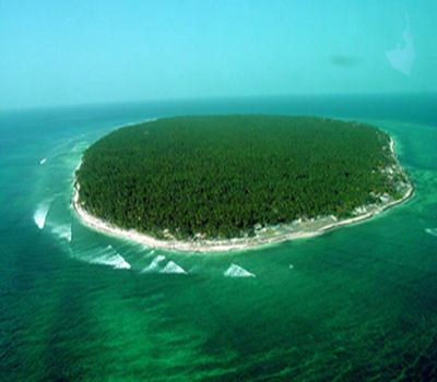
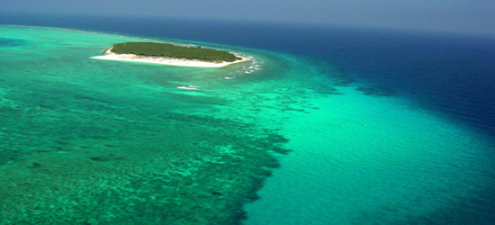
Union Territory of Lakshadweep
 Electoral Rolls

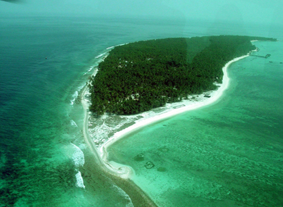
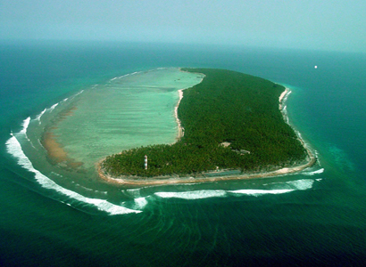
The Agatti Island is at a distance of 459 km (248 nautical miles) from Kochi and is located the west of Kavaratti Island. It lies between 10o48' and 10 o 53' N latitude and 72o09' and 7o 13' E longitude, having an area of 3.84 sq km, with a maximum length of 10 km and width of 2 km. It has a north- east, south-west trend with a long tail on the south. The lagoon area of this island is 17.50 sq km. In Agatti coral growths and multicolored coral fishes abundant out in its lagoons. Fishing is the most important industry of Agatti. Next to Fishing, Coir and Copra are the main industries.
The Amini Island is at a distance of 407 km (220 nautical miles) from Kochi and located between Kavaratti Island in the south and Kadmat Island in the north. This island has an oval shape with a width of 1.20 km at the broadest point and a length of 2.70 km. It lies between 11o 06' and 11o 08' N latitude and 72o 42' and 72o 45' E longitude, having a land area of 2.60 sq km and lagoon area of 1.50 sq km. This oval shaped island is 2-3 m above the mean sea level, with a depression at the centre. Corals and sand stone is used for building purpose. Talented craftsmen living here are famous for making walking sticks with tortoise shells and coconut shells. It's also famous for stone engravers and has a rich tradition of folksongs.
The Bitra Island is the smallest inhabited island in the territory having a land area of 0.105 sq km. It has length of 0.57 km and a width of 0.28 km at the broadest point. This is at a distance of 483 km (261 nautical miles) from Kochi. The island is located at 11° 36' N I and 72° 11' E longitude. Though the land area is small, its lagoon area is 45.61 sq km.
The Chetlat Island is 56 km on the north of the Amini and 432 km (233 nautical miles) away from Kochi. It lies between 11° 41' and 11° 43' N latitude and 72° 41' and 72° 43' E longitude having an area of 1.40 sq km. The island has 2.68 km length, 0.59 km breadth at the broadest point and has a lagoon of 1.60 sq km. Along the eastern side of the island, there is a wide belt of coral delta formed by storms, which broadens at the north and covers the whole southern end of the island.
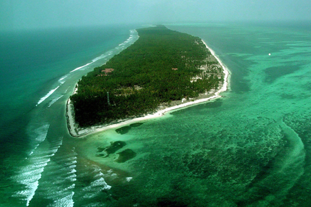
The Kadmat Island is long and narrow. It is only 0.57 km wide at the broadest point having maximum length of 11 km. It lies between 11° 10' and 11° 16' N latitude and 72° 45' and 72° 48' E longitude, having an area of 3.20 sq km. This island is at a distance of 407 km (220 nautical mil from Kochi and located between Amini Island in the south and Chetlat Island in the north. It has lagoon on the western side, measuring about 2 km at the broadest point with a total area of 37sq km. The island is flat, rising 2 to 3 m in the east and 2 to 4 m in the west above the sea level. There is a sand accumulation the southern part of the island, giving rise to undulations.
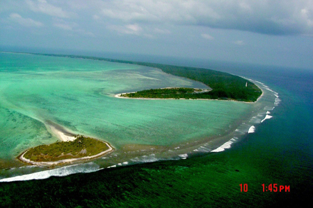
The Kalpeni Island lies between 10° 03' and 10° 07' N latitude and 73° 37' and 73° 39'E longitude, having on area of 2.79 sq km. The Island is located at a distance of 287 km (155 nautical miles) from Kochi and located south-east of Kavaratti Island and midway between Andrott and Minicoy. It has a very large lagoon measuring about 2.8 km. The Island is aligned in the north-south direction. It is a flat island, rising 2 to 3 m maximum above mean sea level. It has a broader southern portion and tapering narrow northern half. The lagoon extends to an area of 25.60 sqkm.
The Kavaratti Island is the headquarters of the Union Territory of Lakshadweep. This island is at a distance of 404 km (218 nautical miles) from Kochi and is located between Agatti Island on the west and Andrott Island on the east. It lies between 10o 32' and 10o 35' N latitude and 72o 35' and 72o 40' E longitude, having an area of 4.22 sq km. Maximum length of the island is 5.8 km and width is 1.6 km. It has a lagoon having a length of about 6 km and an area of 4.96 sq km.
The Kiltan Island lies 51 km north-east of Amini Island, between 11° 28' and 11° 30' N latitude and 72° 59' and 73° 01' E longitude, and has an area of 2.20 sq km. It has 3.4 km length and 0.6 km width at the broadest point. On the northern and southern ends of the island, there are high storm beaches. This island is 394 km (213 nautical miles) away from Kochi. Its lagoon area is1.76 sq km.
The Minicoy Island is the southern-most island of Lakshadweep, situated at a distance of 398 km (215 nautical miles) south-west of Kochi between 8° 15' and 8° 20' N latitude and 73° 01' and 73° OS' E longitude, having an area of 4.80 sq km. This island lies near the 9 degree Channel, which is one of the busiest shipping routes and is about 130 km from the northern-most island of Maldives. It has a very large lagoon on the western side, measuring about 6 km across the two entrances, one on the west and the other on the northern-most point .The lagoon areas 30.60 sq km. The island is about 2 m above the mean sea level on the western side and about 3 to 4 m on the eastern side, and is 11 km long.
The Andrott Island is the largest island with an area of 4.90 sq km, length of 4.66 km and a maximum width of 1.43 km. It lies in the east-west direction, between 10° 48′ and 10° 50′ N latitude and 73° 38′ and 73° 42′ E longitude. It is 119 km (64 nautical miles) away from Kavaratti and 293 km (158 nautical miles) away from Kochi. It is the only island having a very small lagoon area . Andrott is the nearest island to the mainland and has an east-west orientation unlike other islands lying in the north-south direction.It is the Largest island in the Lakshadweep.Thick vegetation mainly coconut groves ,add to the beauty of the island.